


Changelog MapTrip 5.7 / SDK 9.7
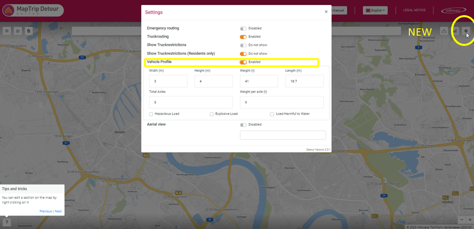
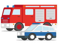
MapTrip 5.7: Optimal Navigation for Emergency Services
The new version of MapTrip 5.7 offers special features for police, fire departments, and emergency medical services. Improvements in map downloads, pedestrian paths, and the Detour function ensure reliable navigation. Notably, the new Gps.setPosition feature enables an optimal start even without a GPS signal.