Navigation Maps
Is it worth it to update your navigation map?
Who has the best navigation maps? Autumn is update time. TomTom and Here are now releasing updates to their navigation maps. Reason enough to take a close look at the two largest map providers, TomTom and Here. What has changed since spring and how does OpenStreetMap compare?
The navigation map is the fundamental part of any navigation software. If the navigation map is bad, also the Navi can tear nothing more. Fortunately, the road maps in Europe, as in almost all industrialized nations, are now very good. In Central Europe, virtually all roads are covered in detail, and problems such as missing roads or addresses are a rare exception.
Nevertheless, anyone who travels professionally and covers many miles each year knows the places where residential areas are redeveloped or simply an intersection has been replaced by a traffic circle. It often then takes a while for these changes to show up in the navigation map providers’ updates.
In this article we want to shed light on the topic of map data principle, explain what differences there are between the various navigation map providers, whether it is worthwhile to update your navigation maps and how to choose the best of all navigation maps for your own application.
Basic information about navigation maps
Let’s start with some basic information about navigation maps. For our navigation software MapTrip, we use digital road maps from the providers TomTom, Here and OpenStreetMap (OSM).
It is interesting to know that the manufacturers do not provide us with ready-made navigation maps in the usual sense. What we get from Here, for example, is a gigantic database. For Europe alone it has a size of about 500GB! Abstract information is stored in it that is only displayed as a map by our further processing in our navigation. Roads are stored e.g. by coordinates. In addition there is the information that there is a road between the coordinates, that this road is a four-lane highway, that there is normally a speed of 50km/h, etc. In addition, the exact course of rivers, forests and all kinds of forest roads is stored in this database. So for the use in the navigation software first the really necessary data must be filtered out. This reduces the data size from over 500 to 6GB!
Length of road network 1.3 or 2.1 million kilometers — Who offers more?
Let’s take a look at the map data of Germany in numbers, as they end up in the MapTrip navigation maps after our filtering process. First of all, there is the combined length of all roads. The two commercial providers TomTom and Here show about 1.9 and 1.3 million kilometers, while OpenStreetMap comes to a proud 2.1 million kilometers. It is tempting to misinterpret these figures as an indication of the quality of the navigation maps. In fact, it is not at all. The length of the road network is caused, for example, by the amount of bike paths, dirt roads and forest roads that end up in our navigation map after our filtering. If, on the other hand, we compare the length of the highways, we get the same length for all three providers except for a few meters.
Destination found? Navigation Maps contain tens of millions of addresses
If you count the number of addresses in Germany, it is noticeable that TomTom and Here have recorded significantly more addresses than OSM with about 16 million. This is probably due to the fact that the mappers enjoy drawing roads, rivers and lakes more than the boring recording of addresses and their coordinates.
So if you want to enter addresses into your navigation, you are probably better off with TomTom or Here navigation maps. A close look at the address data also shows another big advantage of the commercial map providers: Here, addresses are reliably recorded in the always exactly same data format. With OSM, the addresses are sometimes recorded in different formats.
On the other hand, if you already have coordinates of your destinations, you will probably rather transfer them to the navigation via interface. Then the number of addresses recorded in the navigation map is no longer important and OSM can be an attractive alternative.
Is it worthwhile to update navigation maps ?
From this point of view, private users do not necessarily have to use every update offered for navigation maps. In professional use, where you drive every day and the navigation is supposed to simplify your daily work, every missing address, every wrong announcement at a changed intersection or even a missing truck blockage would be more than annoying.
Fortunately, however, the days are gone when updating navigation maps meant a huge effort. In the professional environment, it is usually not one or two navigation systems that need to be updated, but all the devices in a fleet, i.e. 10, 20 or even hundreds of devices. This used to mean a huge manual effort. We have therefore put a lot of thought into MapTrip and that is why our navi loads almost all map data dewy and always up to date from our servers. There we take care of regular updates, so that our customers have no effort at all.
Navigation even in the event of a disaster without Internet
But of course, this requires a functioning Internet connection. The flood in the Ahr valley in the summer of 2021 showed that you cannot always rely on a functioning infrastructure. Especially for navigation users in professional (maybe even system-critical) industries, this is an important aspect. MapTrip can therefore store navigation map data as a backup on the device, so that it is also possible to navigate offline, i.e. without Internet.
Truck navigation with OSM? Better not!
Not all navigation maps are created equal! Unlike almost all other navigation systems, MapTrip offers its user a choice of map material. So how do you decide whether the navigation map from Open Street Map, Here or TomTom is the right one? We’ll try to give you some help in deciding and explain the criteria by which you can judge navigation maps. Let’s start with a simple example:
If you are looking for a GPS navigation for your truck, you need navigation maps that contains the height of tunnels, the maximum weight for bridges and other truck restrictions like closures for dangerous goods. OSM does contain many such truck attributes, but not all, and not reliably, and not in all countries! So we would never advise a customer to use OSM navigation map for his truck navigation! In this case, you should definitely choose one of the two commercial providers that deliver quality-assured navigation maps with truck attributes.
How do I choose the right navigation map for me?
In which country, in which region am I traveling?
In some demanding special applications, we experience time and again that a customer has problems with the map of one provider and everything disappears into thin air as soon as he changes his navigation map. This was the case with a customer in Chile whose navigation system did not work at all at first, and then worked perfectly after the navigation map has been changed. In Europe, however, there is usually no general difference between the commercial providers TomTom and Here.
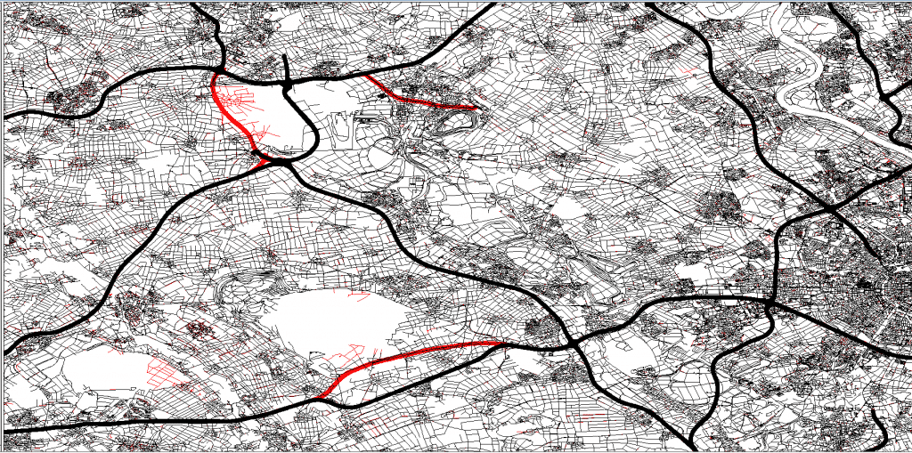
With OpenStreetMap, however, it generally makes sense to take a look at the maps before making a decision. It makes a noticeable difference whether you are traveling in Great Britain (the home country of OSM) or in France, which is much less digitized.
Which application is planned?
The type of navigation application is critical to the choice of navigation maps. While truck navigation almost inevitably rules out OSM, OpenStreetMap can have great benefits for other applications! OpenStreetMap often has a huge amount of detail. Not only roads and intersections but also almost every pedestrian and bicycle path (*) is covered here. This can be a great advantage for applications in waste management or winter road maintenance, because these paths also need to be traveled. On the other hand, the fact that not all turn-by-turn directions and addresses are included in OSM does not matter here!
Live traffic reports — the icing on Navigation maps
Navigation maps are a static representation of a dynamically changing environment. This formulation should make it clear that navigation maps cannot perfectly represent reality at any time. However, current traffic information comes very close to this ideal!
There is almost no application scenario for navigation software that could not be improved by using traffic information. In truck navigation it is crystal clear. Time is money and who wants to waste his money standing in a traffic jam? Traffic information is not only available live as traffic reports, but also offline as statistical information for planning future trips. This makes them part of navigation maps, and the choice of map provider also determines the choice of traffic information.
While the static map contains basic information about road courses and addresses, traffic info brings navigation maps to life. For applications in logistics, the consideration of traffic messages should receive as much attention as the assessment of the navigation maps itself!
TomTom – Brief company history
The company TomTom has grown up as a manufacturer of navigation devices. In 2011, TomTom acquired the map manufacturer Tele Atlas. A few years later, it was joined by a group of Berlin-based researchers who generate up-to-the-minute traffic information from vehicle movement data. Today, TomTom is active as a provider of navigation maps for the automotive industry, map data and traffic information.
Here – Brief company history
Here has a very eventful company history. It all started with Navteq, which was founded in Chicago in 1985 as a map manufacturer (in competition with Tele Atlas). In 2011, Navteq was acquired by Nokia and renamed Here. Nokia had also taken over the Berlin-based navigation start-up Gate5, whose map and navigation technology was merged into Here. Furthermore, the Bonn-based T‑Traffic (a subsidiary of Telekom) was acquired as a know-how carrier for traffic information. In 2015, Here was finally acquired by a consortium of Daimler, BMW and Audi.
About Open Street Map
OpenStreetMap is the Wikipedia of street maps. Everyone can contribute to OSM by digitizing places with a GPS receiver or by drawing streets via a web editor, adding addresses or entering the location of their favorite ice cream parlor. OSM was launched in England in 2004 and has developed rapidly since then. According to OSMStats, there are about 8 million members, of which an average of about 6,000 are active daily.